
GIS Solutions for Irrigation & Utility Mapping in Colorado
GIS Utility & Irrigation Mapping Solutions for Colorado
Advanced GIS technology delivers comprehensive asset mapping for irrigation networks, utility systems, and community infrastructure across Colorado. Our ArcGIS-powered services help HOAs, golf courses, and municipalities visualize, analyze, and optimize water delivery, valves, pipes, and essential assets for maximum efficiency.
Streamlined Field Asset Inventory & Utility Mapping
Precise GIS field asset inventory tracks and manages every system component—from irrigation sprinklers and control valves to utility networks and infrastructure—for Colorado communities. This process ensures accurate organization, real-time monitoring, and long-term reliability with ArcGIS Field Maps and hosted layers.
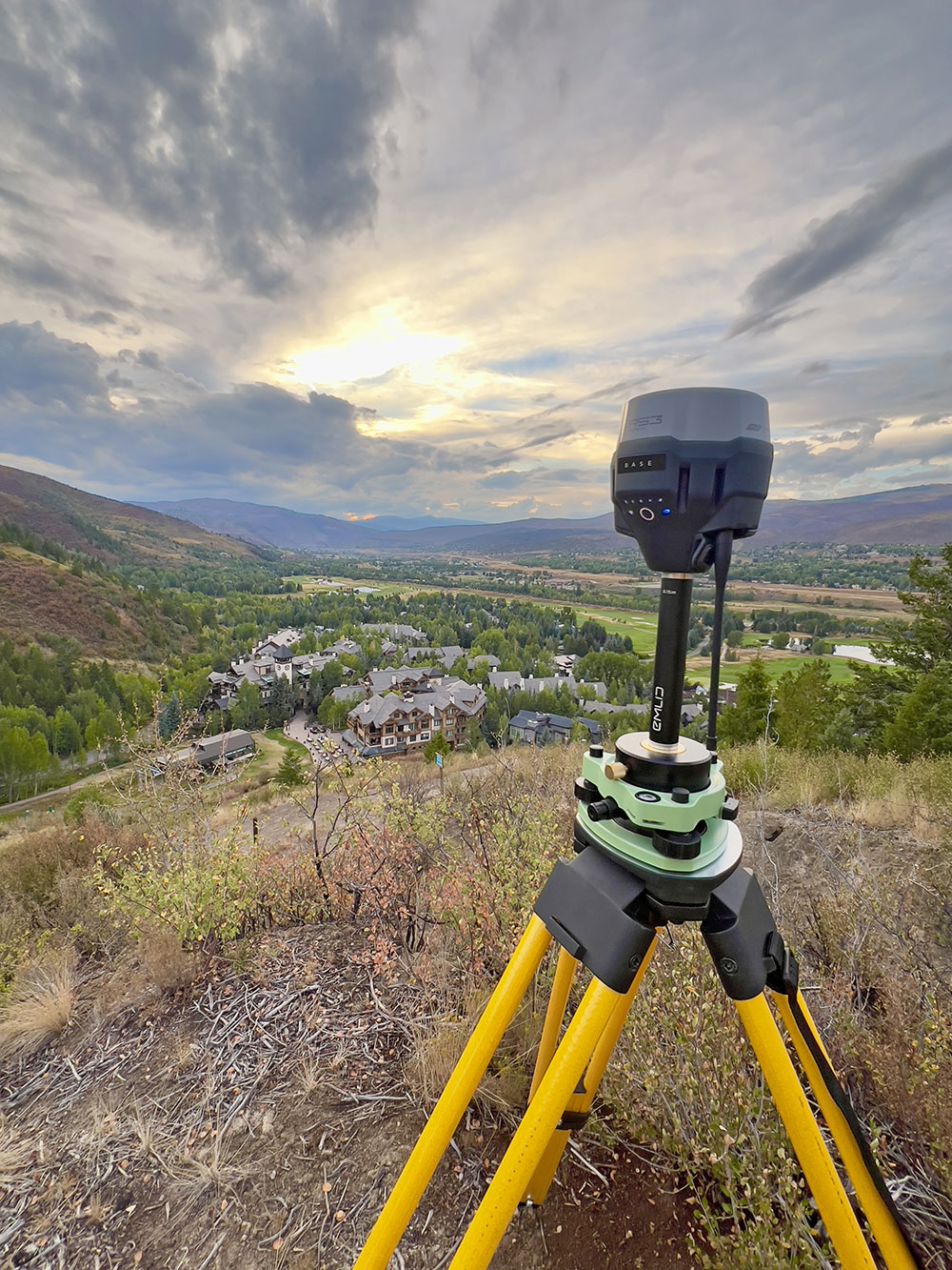

ArcGIS Utility Network Mapping Services
GIS utility network mapping inventories and manages water, irrigation, and infrastructure assets with ArcGIS Utility Network. Keep data current through interactive system maps, real-time dashboards, and mobile field data collection tools for Colorado HOAs, municipalities, and golf courses.

Real-Time GIS Asset Inventory Dashboards
Visual, interactive ArcGIS dashboards deliver real-time monitoring of GIS asset inventory, utility network status, and key performance metrics. Track valves, pipes, zones, and infrastructure health instantly to optimize maintenance and water efficiency for Colorado communities.

Fast GIS Asset Management Collaboration
Intuitive ArcGIS Online portals enable instant access to current GIS utility network data, asset inventories, and field notes. Colorado teams and stakeholders collaborate seamlessly on irrigation mapping, utility asset tracking, and infrastructure planning with mobile-ready tools.
*Disclaimer: Access to certain features requires an appropriate ArcGIS user license. See [Esri’s Viewer User Type page](https://www.esri.com/en-us/arcgis/products/user-types/explore/viewer) for details.*
What is Irrigation Mapper?
Irrigation Mapper is a GIS mapping service designed to help Colorado communities accurately document and manage their irrigation infrastructure. Using ArcGIS technology, we create online maps that clearly show the location and details of all irrigation hardware in the field—such as sprinklers, valves, pipes, and zones—making it easy to visualize, track, and maintain your entire irrigation system.
How does GIS mapping benefit irrigation systems?
GIS mapping benefits your irrigation system by giving you a clear, interactive view of every component in the field. With precise maps and detailed asset information, you can quickly locate valves, pipes, and sprinklers, track maintenance needs, and plan repairs or upgrades more efficiently. This technology streamlines day-to-day operations, reduces time spent searching for equipment, and helps prevent costly mistakes or oversights—making it easier to manage your irrigation system with confidence and accuracy
Who can benefit from using Irrigation Mapper?
Irrigation Mapper is valuable for golf course managers, property owners, landscape professionals, municipal staff, and anyone responsible for maintaining or planning irrigation systems in Colorado. Whether you manage a large facility, oversee community green spaces, or coordinate land development, having accurate geographic data helps you make informed decisions, streamline maintenance, and ensure every piece of irrigation hardware is accounted for and easy to locate.
What types of data does Irrigation Mapper provide?
Using ArcGIS, we provide detailed maps and data layers that show the exact location and key details of your irrigation system components—such as sprinklers, valves, pipes, and controllers. Interactive online maps and asset inventories make it easy to visualize your system, track maintenance, and keep records up to date. Field data collection tools are available for those with the appropriate ArcGIS license, allowing you to capture and update asset information directly from the field. Each project is tailored to your needs, ensuring you get the most relevant information for effective irrigation management.
Is there a cost associated with using Irrigation Mapper?
The cost of using Irrigation Mapper is determined on a project-by-project basis, tailored to the specific scope and requirements of each irrigation mapping effort. Since every project is unique, we prepare customized bids that reflect the scale, complexity, and services needed to deliver precise and effective GIS solutions. This approach ensures you receive a fair and transparent proposal aligned with your project goals.
How can I get started with Irrigation Mapper?
To get started with Irrigation Mapper, please call or email us directly. We’ll discuss your specific needs and guide you through the process of using our GIS mapping services.
Phone: (970)390-4452
Email: [email protected]
ArcGIS-Powered Irrigation Mapping for Smarter Water Management
★★★★★
Trusted for Precision, Reliability, and Advanced Technology
Irrigation Mapper solutions are built on ArcGIS, the industry standard for geospatial data management, ensuring every project benefits from precise mapping, robust data reliability, and innovative technology for smarter irrigation management
Precision Mapping
By leveraging advanced GIS technology, you gain the ability to accurately locate system components, plan maintenance, and optimize water use for long-term sustainability.
Industry Reliability
Leveraging ArcGIS Online, ArcGIS Pro, and ArcGIS Field Maps ensures industry-standard reliability and continuous access to your irrigation mapping data.
Advanced Technology
Utilizing the latest GIS technology, we provide accurate and efficient mapping for irrigation systems.